Latest News
CHECK OUT SOME OF OUR NEWS
-

information
try a new post
-

Hello world!
Welcome to WordPress. This is your first post. Edit or delete it, then start writing!
–
–

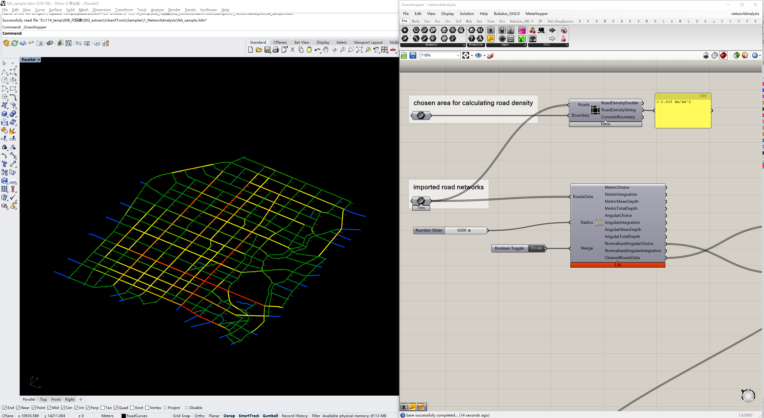
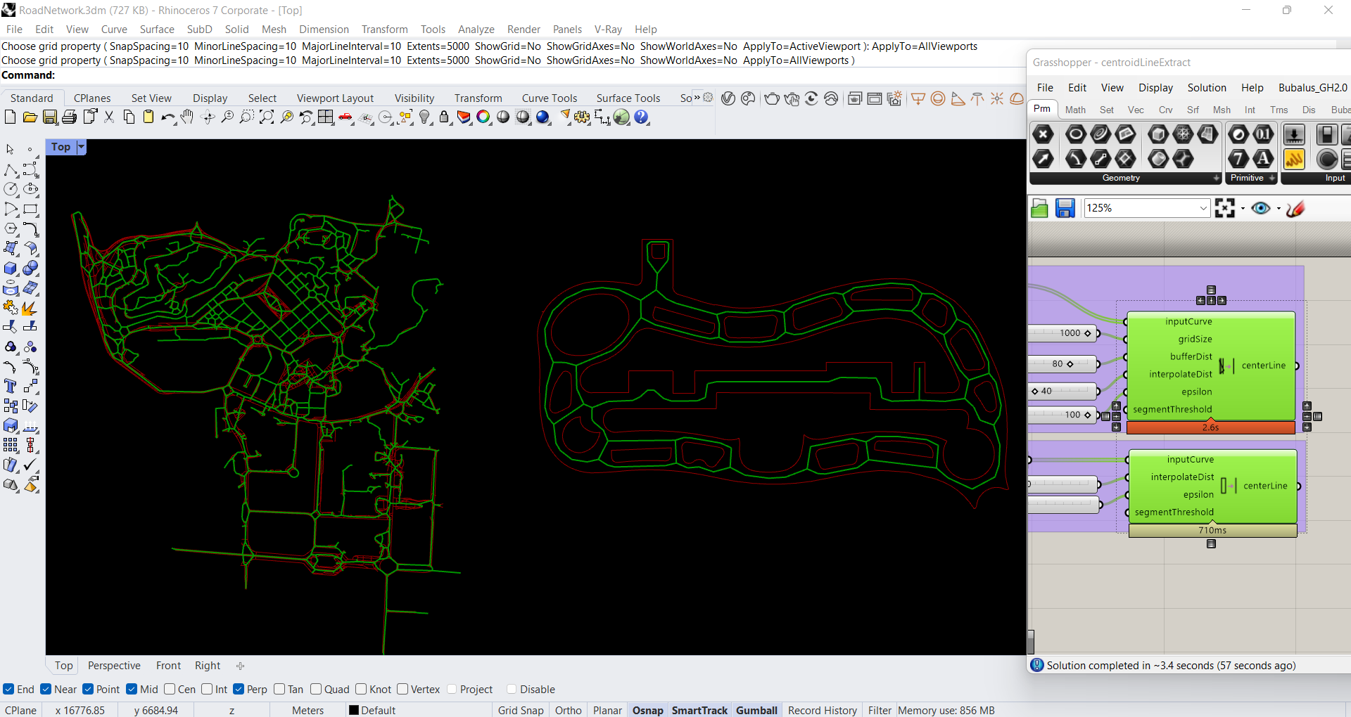
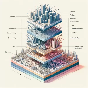
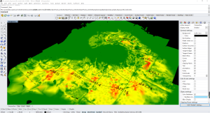
What is MetaCityGenerator?
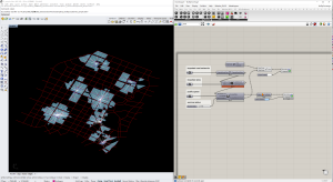
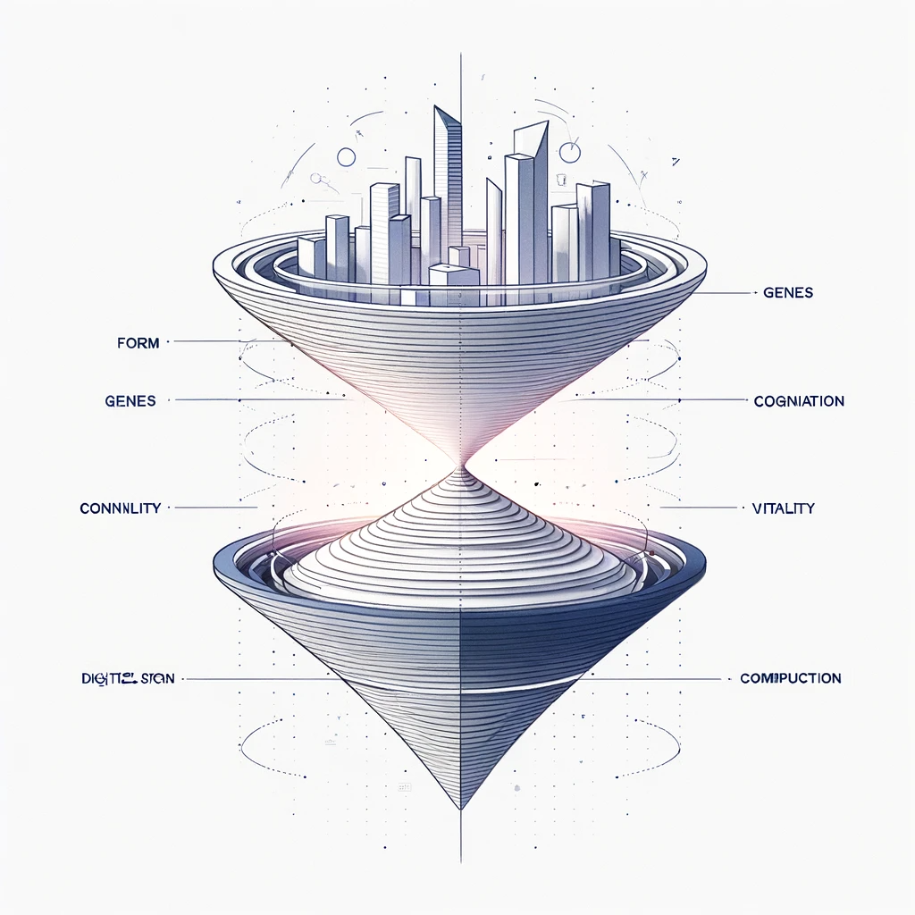
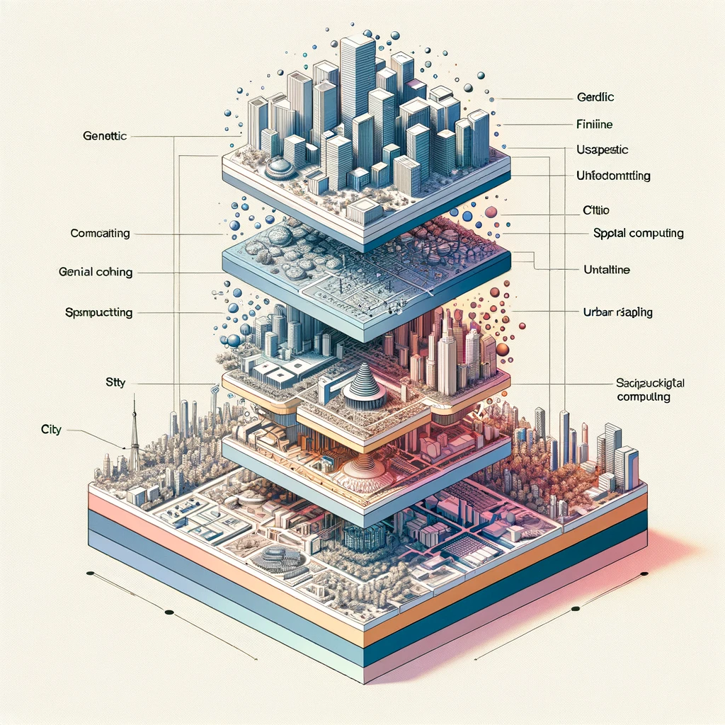
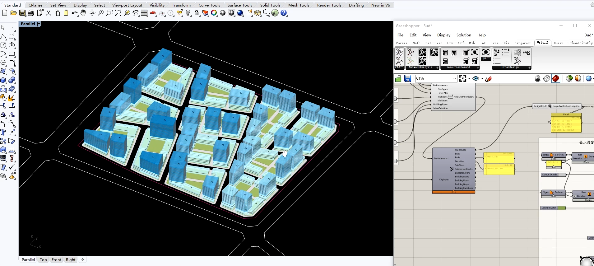
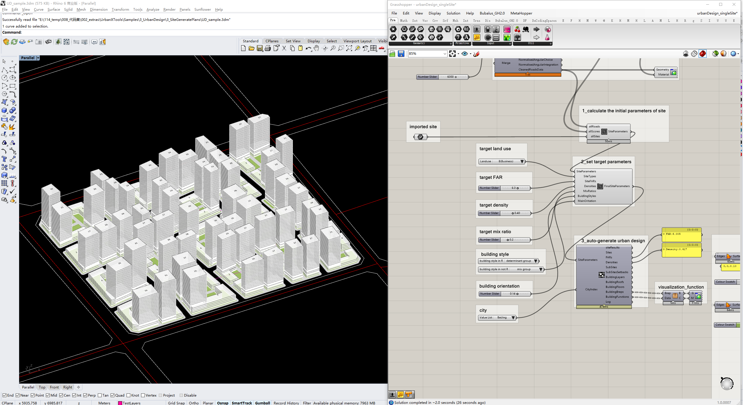
MetaCityGenerator is a powerful tool for urban design and planning that automates the creation of spatial models, evaluates designs based on sustainability and multidisciplinary features, and enhances urban projects through a feedback loop. It streamlines the urban planning process, facilitating the generation, assessment, and refinement of urban designs to meet regulatory and sustainability goals efficiently.
Our philosophy
MetaCityGenerator is a non-profit collaborative project. It is an ongoing work that is being shaped by a multitude of authors from diverse backgrounds, with different career trajectories and varying degrees of involvement. On one hand, we believe that the combination of personal contributions is what makes this toolkit so powerful. On the other hand, we must address the ‘growing pains’ associated with large-scale collaboration. Here, we humbly request your patience and understanding.
We actively seek your feedback, tips, and bug reports, and are dedicated to making continuous improvements.

Facilitate compliant planning that meets regulations and standards.

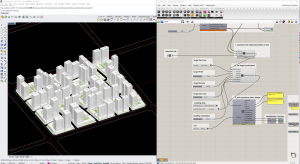
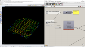
Integrate urban planning logic and algorithms to rapidly generate initial spatial models for urban design projects.

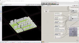
Provide instant evaluation based on multi-disciplinary characteristics and sustainable development goals.

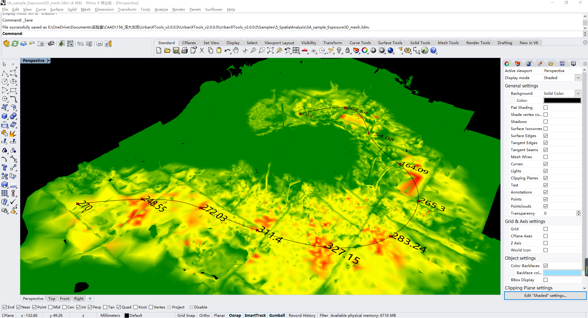
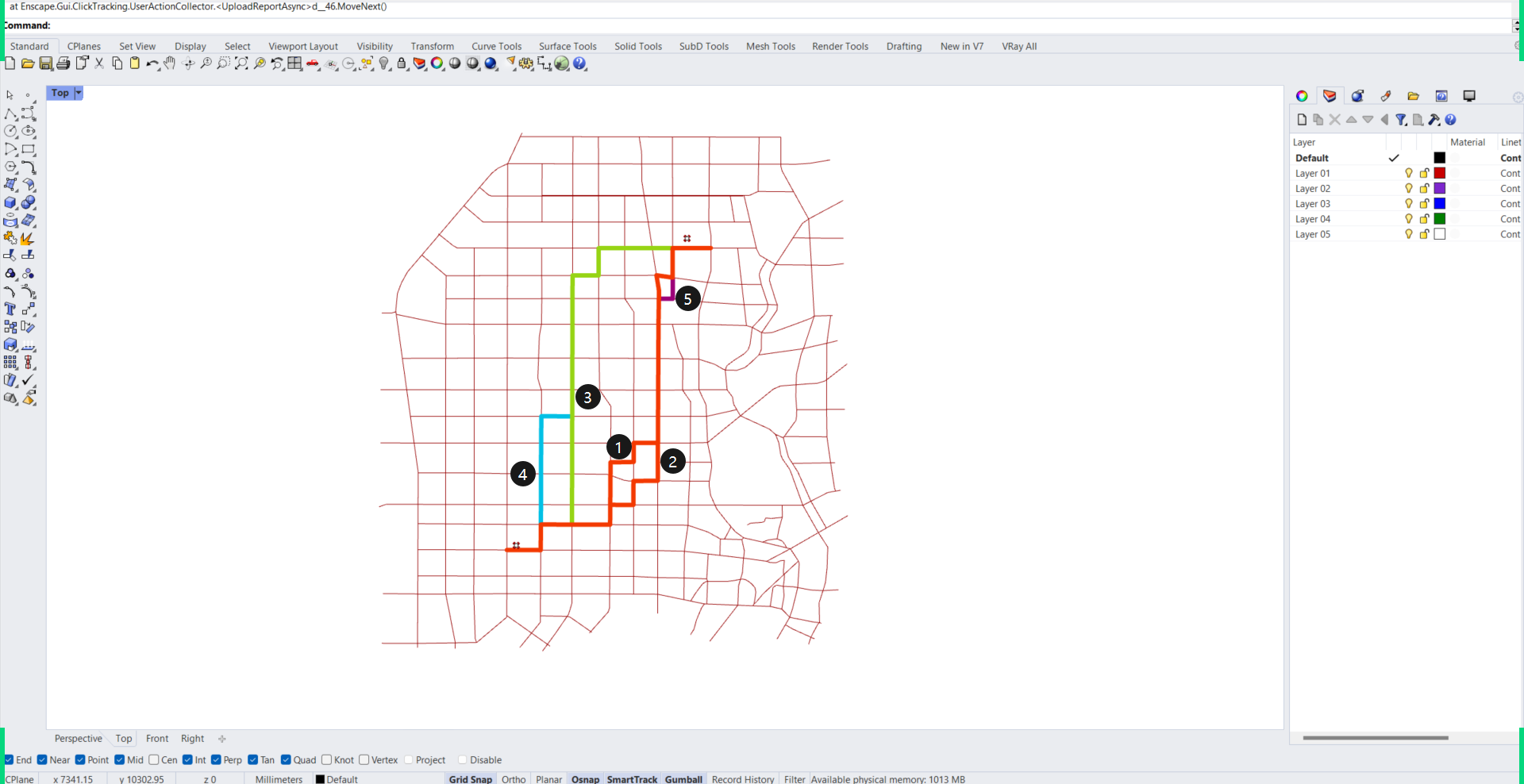
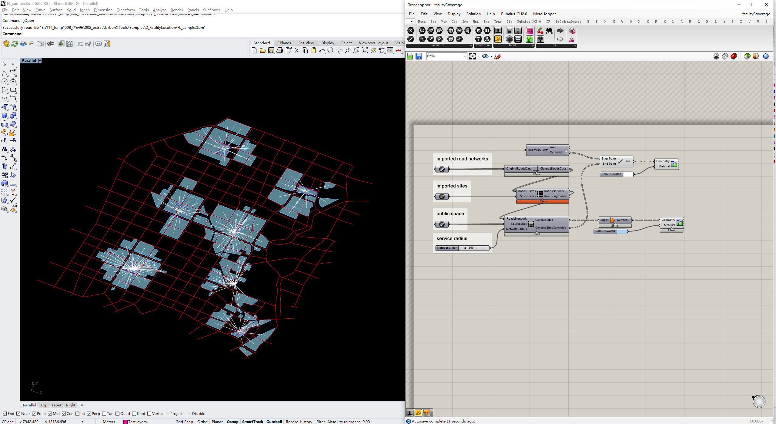
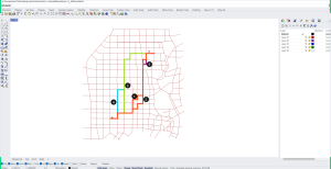
Analyse the coverage of public facilities in urban areas to ensure accessibility.

Simulate traffic flow to analyse the performance of transportation systems.

Assess a city’s ability to withstand and recover from adversity.


This plugin revolutionized our approach to residential design. It’s efficient and intuitive, making urban planning more accessible.
Incredible tool for generating residential urban designs. It significantly cuts down project time and boosts creativity.
A game-changer in spatial planning. The automated designs align perfectly with our sustainability goals. Highly recommend it.
Transformed how we visualize potential developments. The plugin offers practical, sustainable designs that appeal to our clients.
try a new post
Welcome to WordPress. This is your first post. Edit or delete it, then start writing!
